May 25, 2021 - Day Six, Flight Two, Part One
Escalante River to Lake Powell
|
|
Fred, the airport manager, stopped by to see if I needed anything. A friendly guy. Fred has a little Phantom ultralight at the field and likes to fly around the magnificent scenery early in the morning. I fueled the plane at the self-service pump on the field. The fuel price was on the high side but I gladly paid it as I felt it was the least I could do for such great accomodations. I set up my tent; something I havn't done in years.
Then it was time for my second hop of the day. On this flight I wanted to check out the Box Death Hollow area just to the north, then fly the Escalante River down through the Grand Staircase - Escalante National Monument - to Lake Powell, then back up through Capital Reef.
Here I'm about to takeoff on runway 13 at Escalante Airport.
|
| |
 |
|
|
I headed due north up a canyon.
|
| |
 |
|
| I guess this is Box Death Hollow. |
| |
 |
|
|
That's a lot of rock to the east.
|
| |
 |
|
| Now turning southeast. |
| |
 |
|
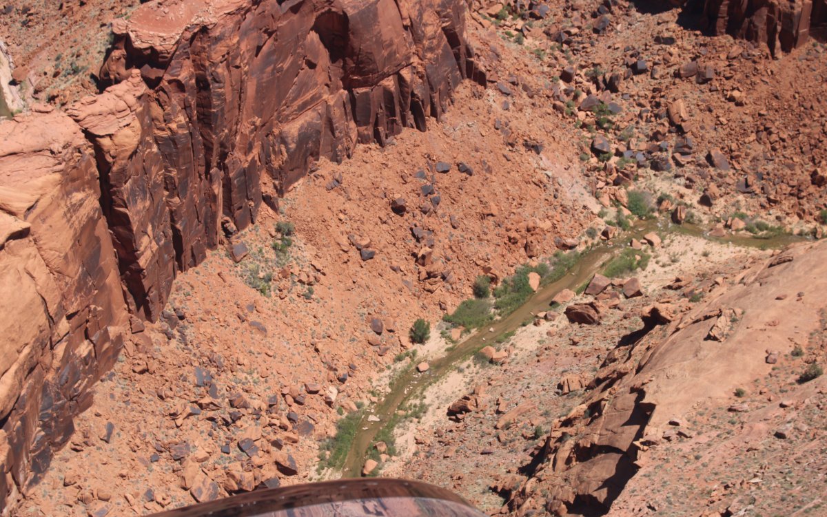
| I followed a creek -- canyon -- that eventually joined the Escalante River. I think. There are a lot of canyons around here; who knows which is which. |
| |
 |
|
| |
| |
 |
|
|
|
| |
 |
|
| |
| |
 |
|
| You wonder if anyone has ever been in this canyon .... ever. |
| |
 |
|
| I'm about to join the Escalante River. Looking west, Escalante is visible in the distance. |
| |
 |
|
|
I headed west towards Escalante briefly.
|
| |
 |
|
| Now looking east. I'll follow the Escalante River all the way to Lake Powell. |
| |
 |
|
|
|
| |
 |
|
The land is among the most remote in the country; it was the last to be mapped in the contiguous United States. There are three main regions: the Grand Staircase, the Kaiparowits Plateau, and the Canyons of the Escalante (Escalante River). The monument stretches from the towns of Big Water, Glendale, and Kanab, Utah in the southwest, to the towns of Escalante and Boulder in the northeast.
The Grand Staircase is an immense sequence of sedimentary rock layers that stretch south from Bryce Canyon National Park and Grand Staircase-Escalante National Monument, through Zion National Park, and into the Grand Canyon National Park.
|
| |
 |
|
|
Lake Powell, Utah from NASA's Landsat Lake Powell in southern Utah stretches hundreds of miles from Lees Ferry in Arizona to the Orange Cliffs of southern Utah. At more than 400 feet deep, 150 miles long, and nearly 2,000 miles of shoreline, Lake Powell is the nation's second largest man-made lake, second only to Lake Mead in Nevada. It is at its lowest water level in over 30 years due to the ongoing drought in the western United States.
|
| |
 |
|
| Enough of trying to describe the area; back to the scenery. |
| |
 |
|
|
I came across the famous All-American Scenic Byway 12 or Highway 12.
|
| |
 |
|
|
State Highway 12 was built by the Civilian Conservation Corps between 1935 and 1940.
|
| |
 |
|
|
State Highway 12 runs north-south and I crossed it heading east, still following the river, or river bed at this point.
|
| |
 |
|
| |
| |
 |
|
| It would be fun to hike this portion. |
| |
 |
|
| |
| |
 |
|
|
|
| |
 |
|
| It's amazing how the terrain changes in just a short period on the same river. |
| |
 |
|
|
Entering red rock canyon territory.
|
| |
 |
|
| An orchard has grown in the wide river bed. |
| |
 |
|
| Looking northeast away from the river. This is the Glen Canyon National Recreation Area. |
| |
 |
|
| Spectacular! |
| |
 |
|
|
I saw this interesting side canyon to the northeast and decided to check it out.
|
| |
 |
|
| It eventually opened up into a big valley. |
| |
 |
|
| Nice red-rock cliffs. |
| |
 |
|
| Looking southeast. |
| |
 |
|
|
|
| |
 |
|
|
I made a big circle in the valley then headed back to the Escalante River.
|
| |
 |
|
|
|
| |
 |
|
| |
| |
 |
|
| |
| |
 |
|
| Back on the Escalante River. |
| |
 |
|
|
A miniature butte inside the river canyon.
|
| |
 |
|
| Looking west up a side canyon. |
| |
 |
|
| Ah, there's some water in the Escalante River. |
| |
 |
|
| Check out the arch at center. It is called Stephen's Arch. |
| |
 |
|
|
A close-up. You can drive-hike to this arch. Just do this: "Drive down Hole in a Rock road and 36 miles in, look for sign saying 40 mile ridge, 7 miles. Very bumpy roads. Definitely good to have a 4WD especially during rainy season. From the lot at the end of the 7 mi road you hike about 1.5 miles to get to the edge where Stevens Arch is. It is a magnificent view. Hike down some narrow cracks and you'll be on your way to some spectacular views of the arch and the rest of Coyote Gulch."
|
| |
 |
|
| Looking west again with a good view of Kaiparowits Plateau in the distance. |
| |
 |
|
|
Looking back at Stephen's Arch.
|
| |
 |
|
| Red-rock Cul-de-sac. |
| |
 |
|
| Yanking and banking. |
| |
 |
|
|
Another striking rock formation within the canyon.
|
| |
 |
|
| Looking back northwest. |
| |
 |
|
| |
| |
 |
|
| I'm at the point where the Escalante River runs into Lake Powell. |
| |
 |
|
|
Almost Lake Powell.
|
| |
 |
|
| Definately Lake Powell -- complete with boat! |
| |
 |
|
|
A big houseboat tied up to shore. A nice secluded spot. The crew has the canyon to themselves.
|
| |
 |
|
| |
| |
 |
|
| Still following the Escalante River/Lake Powell. |
| |
 |
|
| |
| |
 |
|
|
This is the point where the Escalante River ran into Glen Canyon or what is now Lake Powell.
|
| |
 |
|
| I turn left (northeast) and head up the Lake. To the right (southwest) leads to Page. |
| |
 |
|
| Almost like flying a wide river, actually. |
| |
 |
|
| Off the left wing. |
| |
 |
|
|
A side canyon with lots of sand at the canyon base.
|
| |
 |
|
| |
| |
 |
|
|
|
| |
 |
|
| Passing by a solid sheet of rock. |
| |
 |
|
| |
| |
|
|
|
|
|
|